


Achnaha
Brief History
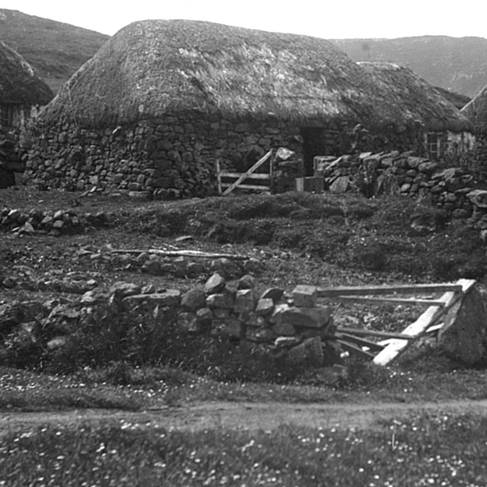
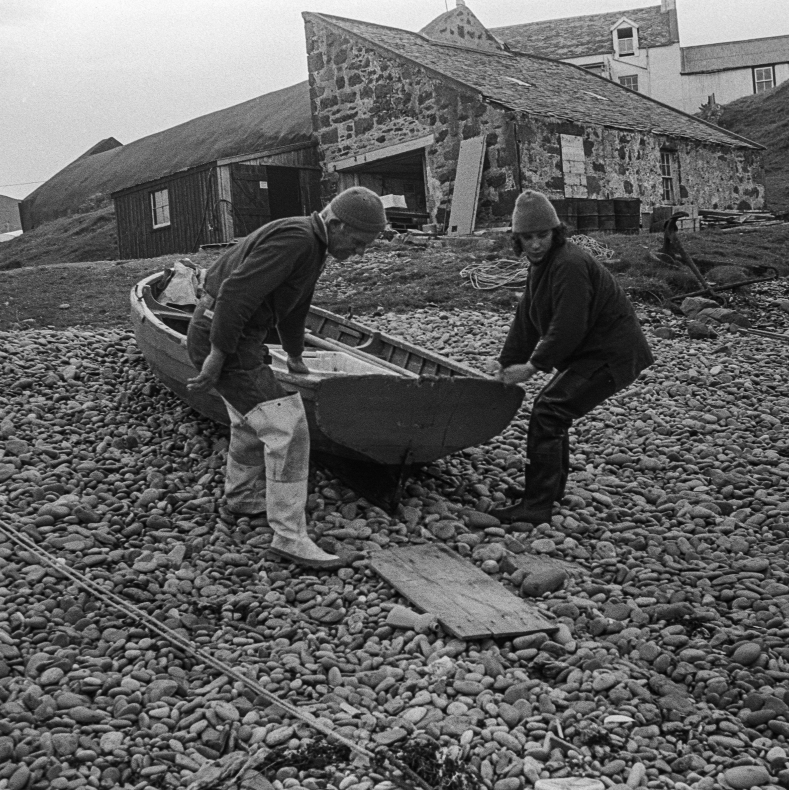
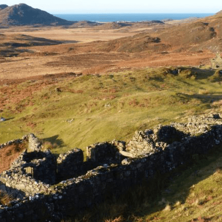
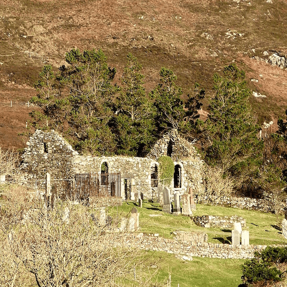
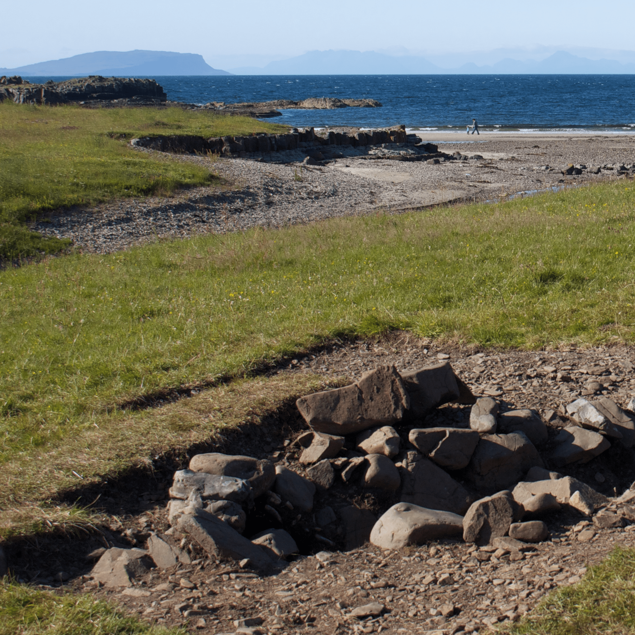
Unlike more recently established crofting townships, Achnaha's older dwellings are situated close together, as they would have been in the time of the clans. Remains of several 'blackhouses' - traditional croft houses with thatched roofs and earth floors - can still be seen here. Today Achnaha continues to be a predominantly crofting settlement, as it has been for generations.
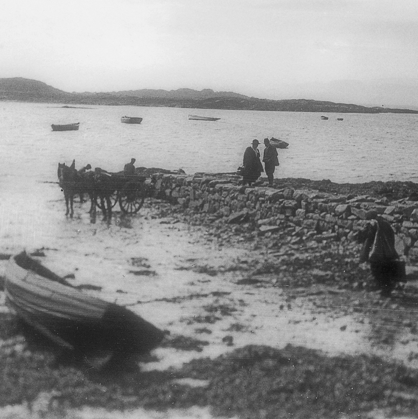
Cottages at Achnaha, 1920s-1930s © MEM Donaldson Collection, Inverness Museum and Art Gallery, High Life Highland
Photograph by MEM Donaldson
Cottages at Achnaha Photo courtesy of Mary Khan, with thanks to Ardnamurchan residents
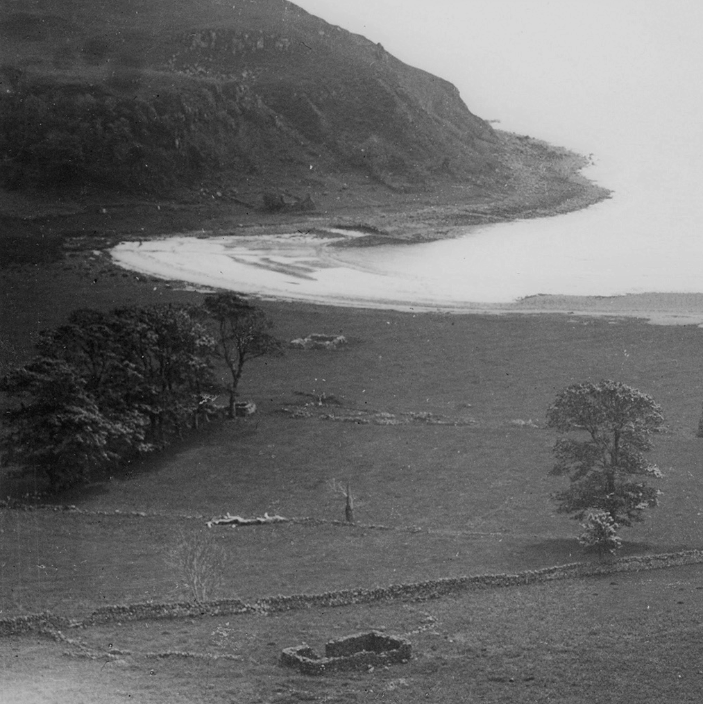
Cottages and Byres at Achnaha © MEM Donaldson Collection, Inverness Museum and Art Gallery, High Life Highland
Photograph by MEM Donaldson

Achnaha thumbnail
Dig into layers of history.

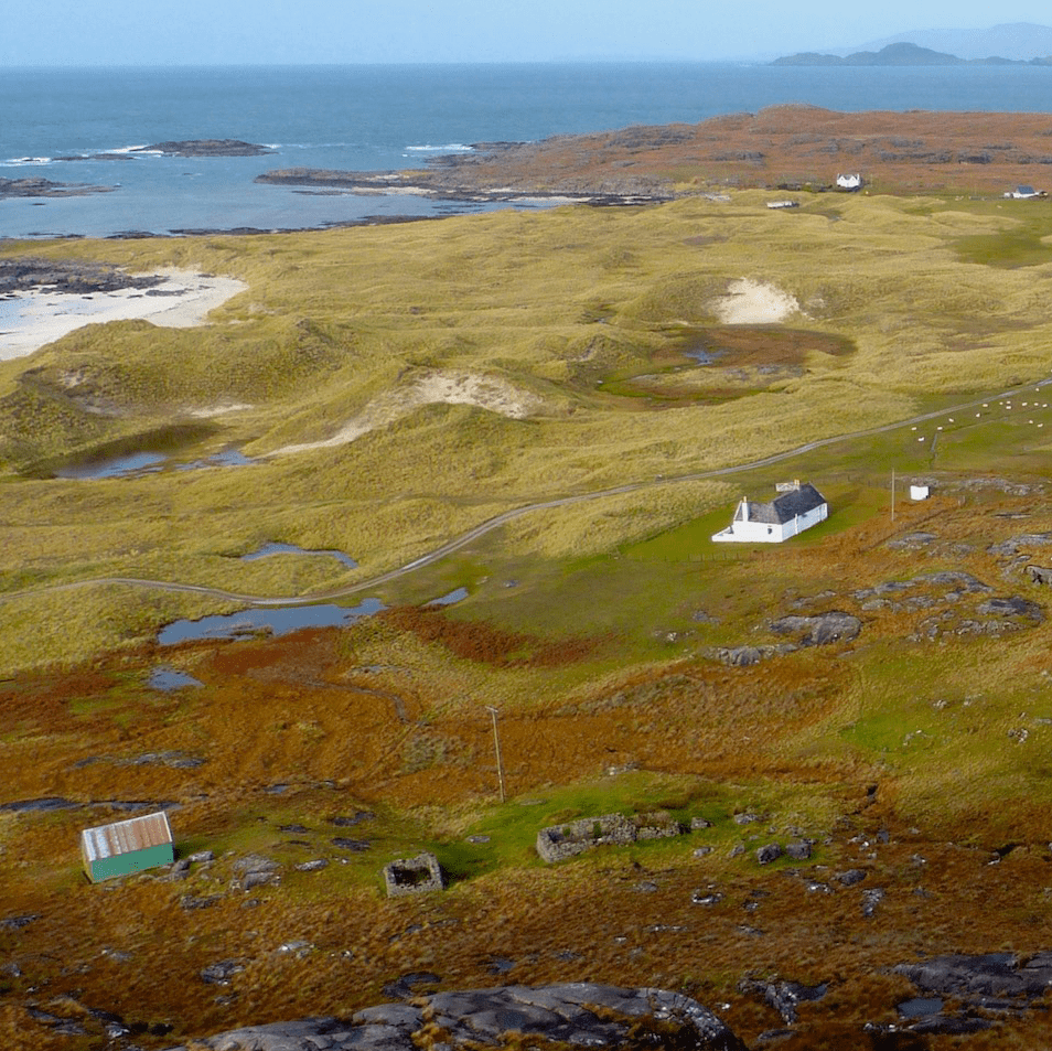
The positioning of the buildings in Achnaha reflects its long existence. You can still see how townships were organised during times of clans.
Areas of good arable fields were divided into ridges (rigs) with uncultivated (runs) between, a system known as runrig. Under the runrig system, these strips were re-allocated to families on a regular timetable, sometimes by the drawing of lots. This allowed the land to be shared fairly.

Map Key

Infield arable fields
Which were taxed by the ʻtacksmanʼ, on behalf of the clan chief and rotated between tenants.

Each family living here had a right to graze a fixed number of animals.

Outfield areas which were fertilised by animals, separated from the infield areas by a dyke.


Houses were arranged close together, usually on the poorest ground.