


Glendrian
Brief History
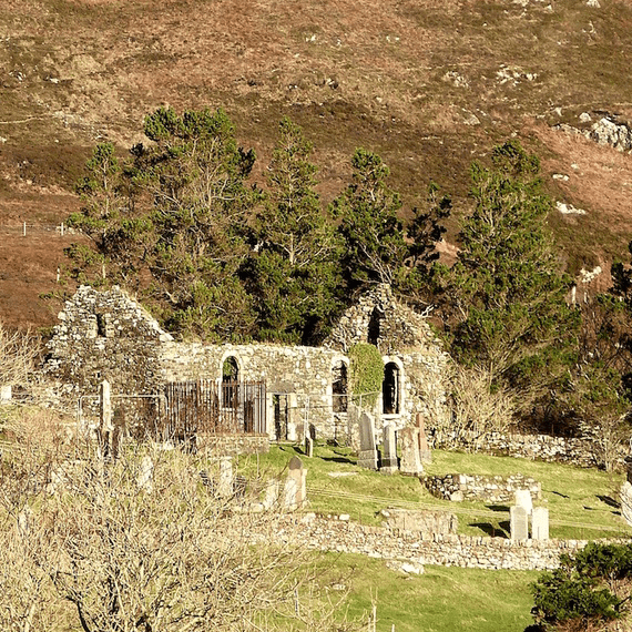
Once a thriving community, the ruins of nearly twenty buildings remain, consisting of dwellings, byres, shielings and other associated buildings, along with kale yards and animal enclosures. The buildings are varied in date and style, and the settlement made different use of older buildings to meet their needs as times changed.
Click here to find out more about Glendrian
Mapmaker: Bruce, Alexander.Title: A Plan of Loch Sunart, 1733. Reproduced with the permission of the National Library of Scotland.
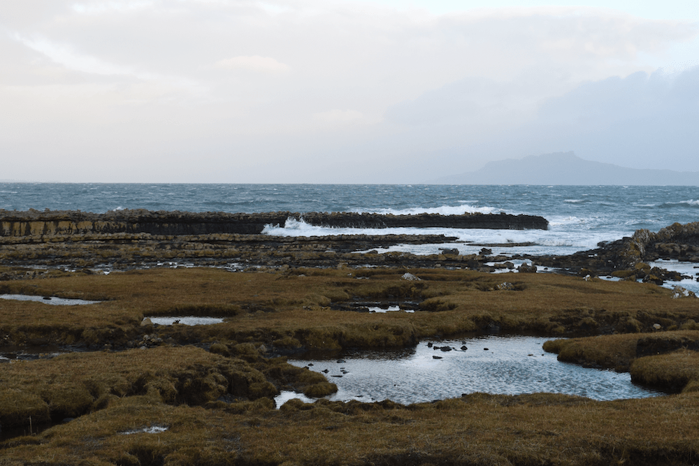
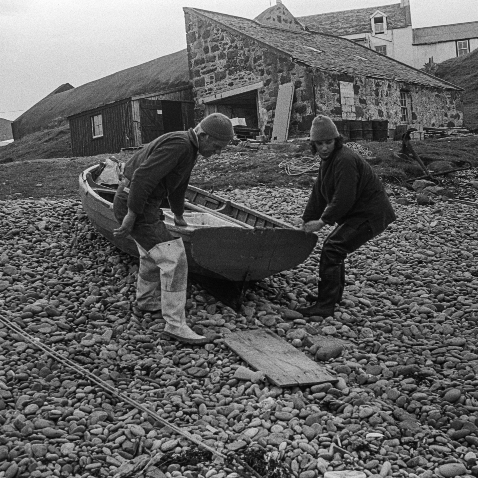
Glendrian, former crofting township. © Ardnamurchan History and Heritage Association

Glendrian thumbnail
Glendrian, former crofting township. © Ardnamurchan History and Heritage Association
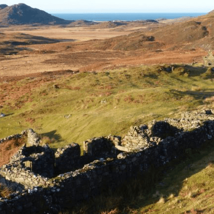
Glendrian, former crofting township. © Archaeology Scotland
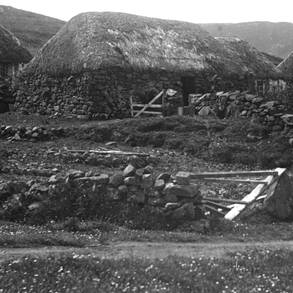
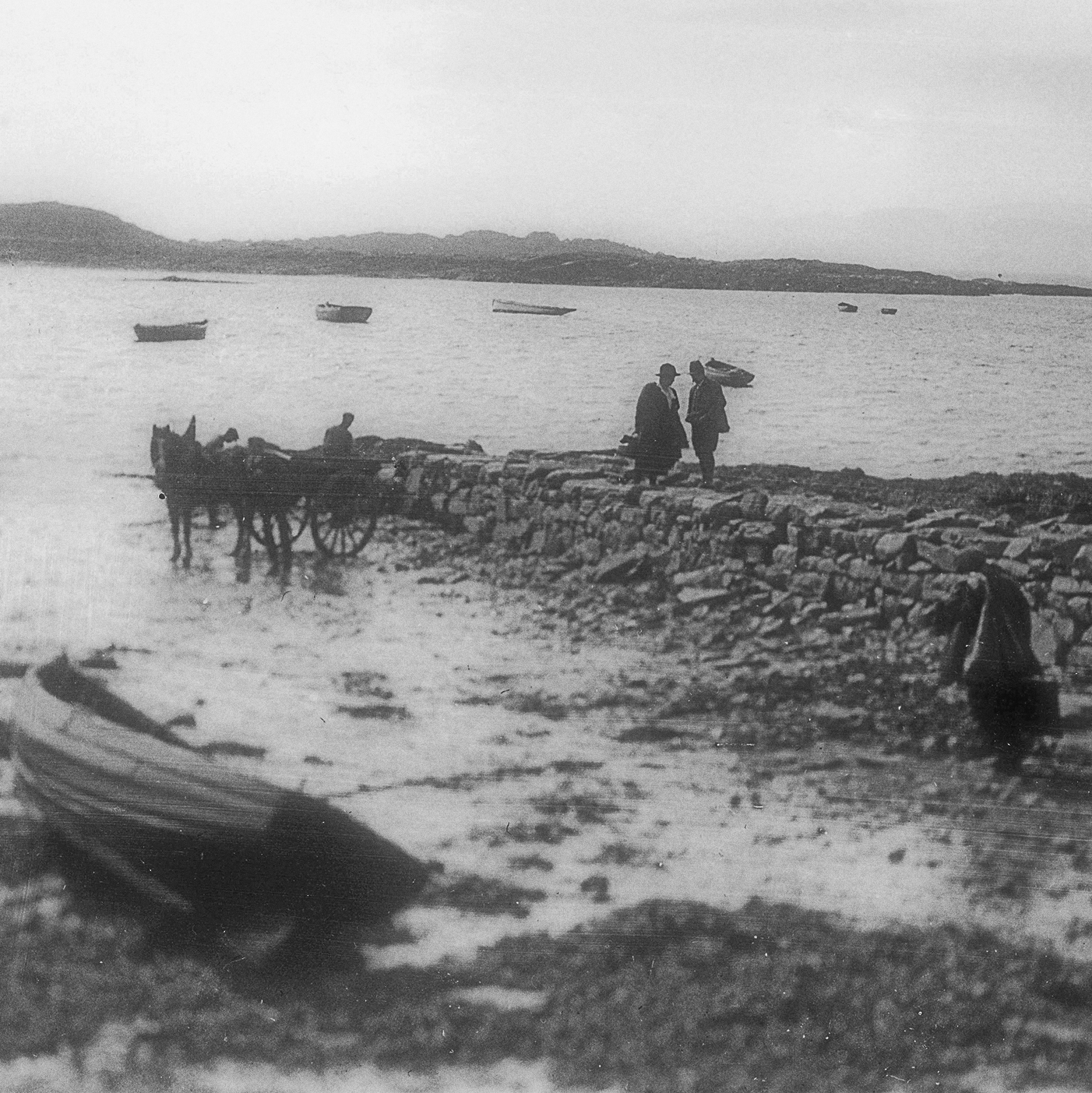
Ruined house, probably part of the former township of Glendrian. © MEM Donaldson Collection, Inverness Museum and Art Gallery, High Life Highland
Photograph by MEM Donaldson, first half of the 20th century.
Glendrian, former crofting township. © Archaeology Scotland
Dig into layers of history

Eviction and Emigration

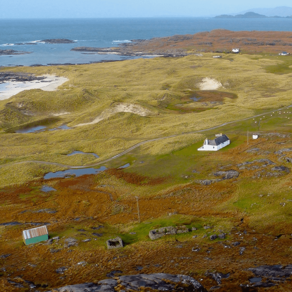
Glendrian did not suffer from mass evictions, but its population gradually decreased. There was also a shift in its land organisation over the years, from communal arable land surrounded by common grazing areas, to individual small areas of arable land and a right to graze a fixed number of cattle and sheep on the common grazings.
 Crofting Township

The 1872 OS map shows that the open fields in Glendrian have been divided into rectangular areas, suggesting that the settlement has become a crofting township by this time.